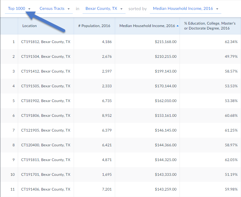
The Ranking Report allows you to view and compare data for all locations within a larger, central location. For example, you could analyze data for all counties in a state, ZIP Codes in a city, census tracts in a county, and so forth. The Ranking Report is helpful for understanding how characteristics - demographics, spending patterns, health, etc., change throughout a geographic area. The data in a Ranking Report can be exported and used as a spreadsheet, database, statistical analysis or desktop GIS program.
1. Enter the Ranking Report view
2. Select how many Locations to view/export and specify the geographies (All CTs in a county) using the dropdown boxes at the top of your view.

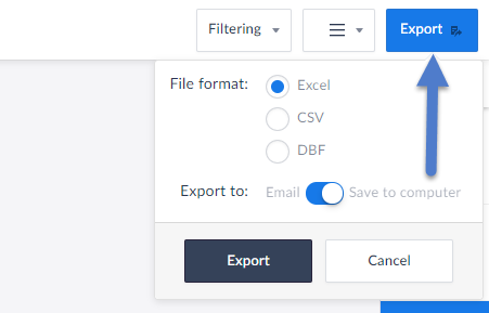
3. Select the Export button towards the top-right of the view and select your preferred document type and delivery method.
