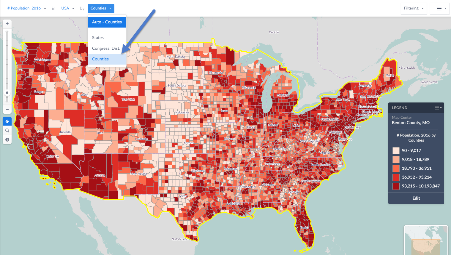
Your level of zoom and chosen geography will determine the available geographic units from which to analyze your location by. For example, if you are looking at a map of the United States or a state, the smallest geographic unit that would be available to choose from will be the county level.
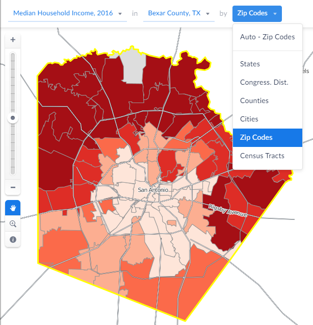
If you would like to see areas analyzed by Census Tract or ZIP Code, try changing the original geography to something smaller such as a county.
Available geographies in the U.S. include state, Congressional District, county, city ZIP Code, census tract, and census block-group. In Canada, Province, census metro area, census divsion, census subdivision, census tract, and dissemination areas are available.